
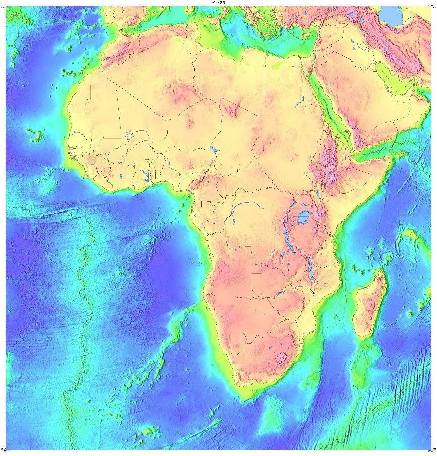
With a land area of 30 million km2, Africa is the third largest continent. This area represents 6% of the Earth’s surface and 20% of the land mass. Separated from Europe by the Mediterranean Sea, Africa is attached to Asia at its north-eastern end by the Isthmus of Suez (crossed by the Suez Canal) for 163 km. From its northern end, Cape Angela (37° 20′ 50″ N) in Tunisia, to its southern end, Cape Agulhas (34° 51′ 15″ S) in South Africa, the continent extends over approximately 8,060 km. From its western end, Cape Verde (17° 33′ 22″ W), to its eastern end, Ras Hafun (51° 27′ 52″ E) in Somalia, it extends over approximately 7,420 km.
Its coastline, which is not very indented, is 26,000 km long. The absence of deep indentations in its shore is remarkable; in fact, by comparison, Europe, which extends over 10.4 million km2, or about a third of the surface area of Africa, has a coastline of 32,000 km. That is 6,000 km longer.
The Sahara, Africa’s largest desert and the world’s largest hot desert, covers an area of nearly 8.6 million km2. The Sahel, a continuous strip of semi-arid tropical savannahs just south of the Sahara, covers nearly 2.7 million km2. Thus, the hyper-arid, arid and semi-arid regions of the Sahara and Sahel alone cover about a third of the total surface area of the African continent.

For more information :
- https://fr.wikipedia.org/wiki/Portail:Afrique
- https://en.wikipedia.org/wiki/Africa
- https://africacenter.org/
- https://journals.openedition.org/etudesafricaines/
- https://etudes-africaines.cnrs.fr/
- https://journals.openedition.org/etudesafricaines/
- https://www.afdb.org/fr/documents-publications/economic-perspectives-en-afrique-2024